Bridging the gap between coastal flood research and climate services applications
Climate Scale in MyFlood
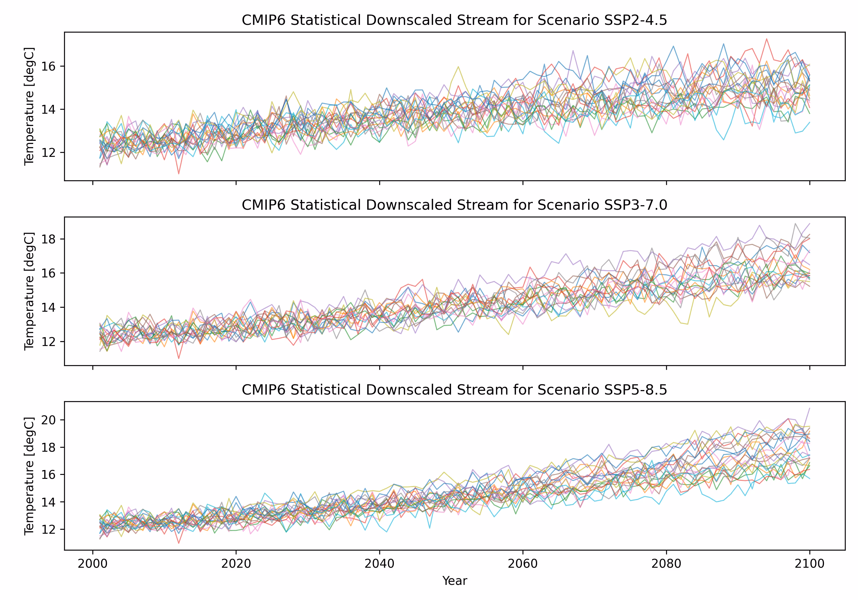
What is MyFlood?
Compound coastal flooding occurs when multiple physical drivers act simultaneously: extreme precipitation, river discharge, tides, storm surges or waves, frequently amplifying each other's effects. With more than 50% of the world's population concentrated in coastal zones, exposure to this compound coastal risks is large, and climate change is expected to increase their frequency and/or intensity in many regions.
MyFlood set out to advance the estimation of compound flooding at two spatial scales (regional and local) and across two time horizons: short-term forecasting and long-term climate change projections, integrating socio-economic consequences to enable a complete risk assessment.
The Consortium
The project was coordinated by the GeoOcean Group at the University of Cantabria (UC), led by Prof. Fernando Javier Méndez Incera, and brought together six leading institutions:
- Universidad de Cantabria — coordinator
- Universidade da Coruña (UdC)
- Universitat Politècnica de Catalunya (UPC)
- Universidad de Granada (UGR)
- AZTI
- Climate Scale — industrial partner
The Four Project Objectives
- Map compound flooding drivers along Spain's coastlines, identifying the combinations of physical mechanisms most likely to drive compound flooding events, as well as the hotspots along the country’s extense coastline.
- Develop computationally efficient methodologies to simulate compound flooding at local scale, linking hydrological, oceanographic and hydraulic models using statistical and hybrid methodologies.
- Define a dynamic modelling framework that accounts for the effects on compound flooding of morphodynamic changes in the coastline.
- Develop prototypes for new coastal flooding products applicable by the industrial partner of the consortium, us, Climate Scale.
Real world applications
Enhancing the REPORT product
As an outcome of MyFlood, Climate Scale will incorporate new compound coastal flooding indicators into its REPORT, a product that already covers more than 30 climate variables and associated hazards for any location globally. The new metric will be based on the Compound Flooding Potential Index (CFPI) developed within the project.
New capabilities for specialised consulting
For clients whose needs go beyond standardised products, Climate Scale develops ad-hoc solutions. The advanced climate emulators that simulate coastal storms, storm surges and waves that have been developed within MyFlood have been incorporated to the know-how of Climate Scale to attend those needs.
Specialist talent
MyFlood supported the growth of Climate Scale's team through the incorporation of a meteorology specialist focused on the analysis of climate change impacts on waves and wind for offshore infrastructures, and on the development of local and regional climate risk indicators.

Share the word


.avif)